 Skip to content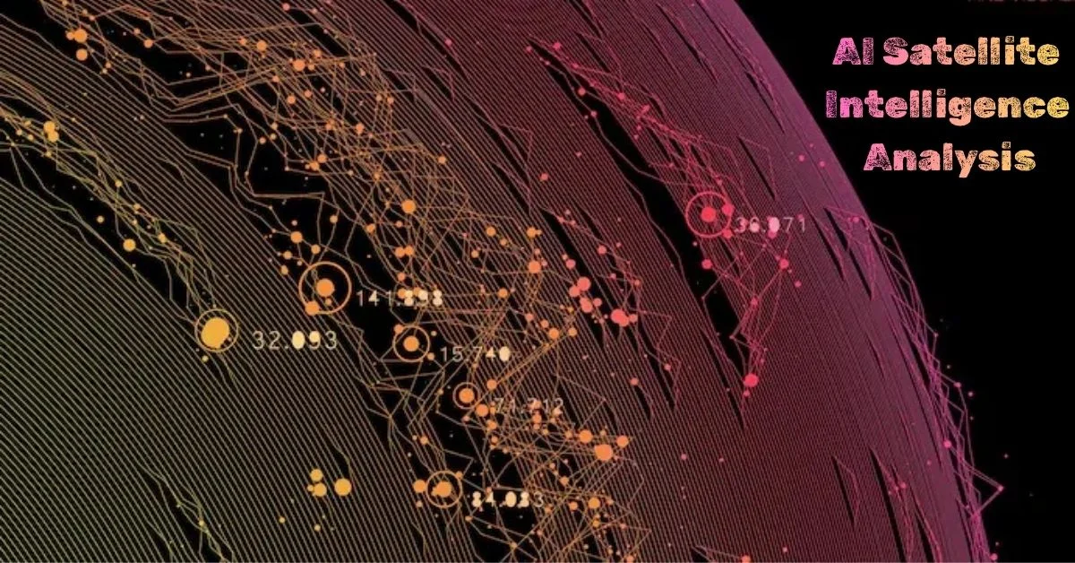
Satellite imagery creates more data than analysts can inspect manually. AI helps by identifying patterns, prioritizing areas for review, comparing images over time and combining imagery with other geospatial information. The value is not that AI “sees everything.” It is that well-designed systems can reduce the amount of data a human must inspect and surface changes that deserve attention.
The National Geospatial-Intelligence Agency describes GEOINT AI as the integration of artificial intelligence with geospatial intelligence to process large volumes of geospatial data more efficiently and provide tip-offs and alerts that help analysts discover objects and answer intelligence questions. NASA also uses AI and GeoAI across Earth-observation workflows for scientific and operational decision support. NGA GEOINT AI overview.
The GeoAI Analysis Pipeline
A credible satellite-AI workflow has several stages. Skipping any one of them can create confident but misleading output.
- Ingest: collect imagery and metadata from approved sources.
- Preprocess: correct geometry, resolution, atmospheric effects and sensor differences.
- Detect or classify: use models to identify objects, land-cover classes or patterns.
- Compare: perform change detection across dates or sensors.
- Fuse: combine imagery with maps, weather, elevation, vessel data or other contextual sources where appropriate.
- Score confidence: expose uncertainty rather than presenting every detection as fact.
- Validate: route important findings to trained analysts or domain experts.
Why Preprocessing Matters More Than It Looks
Satellite images from different dates may vary because of clouds, shadows, viewing angle, season, sensor type or resolution. A model can mistake those differences for real-world change. Georeferencing errors can also shift an object enough to create a false change signal.
That makes preprocessing part of model quality, not a separate housekeeping step. Teams should track sensor metadata, spatial resolution, acquisition time, cloud coverage and transformation history so a reviewer can understand what the model actually received.
Object Detection Is Only One GeoAI Capability
| Capability | What it does | Example public use |
|---|---|---|
| Classification | Assigns areas or pixels to categories | Land cover, crop types, burned areas |
| Object detection | Finds specific visible objects | Buildings, vehicles, ships or infrastructure |
| Segmentation | Maps exact spatial extent | Flood water, wildfire perimeter, deforestation |
| Change detection | Compares locations over time | Construction, storm damage, shoreline change |
| Anomaly detection | Flags patterns that differ from a baseline | Unexpected environmental or infrastructure changes |
| Multimodal analysis | Combines imagery with text, maps or sensor data | Decision support and evidence synthesis |
Change Detection Needs a Baseline
“Something changed” is not enough. Useful systems need to distinguish relevant change from normal variation. A baseline can include historical imagery, expected seasonal behavior, permitted construction, known maintenance activity or environmental cycles.
A strong change-detection workflow therefore asks three questions: what changed, how certain is the change, and does the change matter for the decision? This prevents teams from wasting time on technically correct but operationally irrelevant detections.
Confidence Should Travel With the Finding
A detection without uncertainty information invites overconfidence. Useful output should include model confidence, source date, sensor type, image quality, geographic precision and any known limitations.
For high-impact decisions, teams can use a two-threshold model: high-confidence findings are prioritized for rapid review, medium-confidence findings receive additional evidence or a second model, and low-confidence findings are not promoted as conclusions. The thresholds should be calibrated against real validation data, not chosen for appearance.
Human Analysts Still Add Context the Model Does Not Have
AI can recognize visual patterns but may not understand policy, intent, local conditions or the consequences of acting on a finding. Analysts can compare multiple explanations, incorporate non-imagery evidence and reject detections that are technically plausible but contextually wrong.
NGA’s own public description emphasizes using AI to help analysts interact with large datasets and deliver decision-ready expert GEOINT, not eliminating analysts from the process.
High-Value Civilian and Enterprise Use Cases
Disaster response
Change detection can help identify flooded areas, damaged roads, wildfire boundaries or affected buildings after an event. Rapid prioritization matters when imagery covers a large area.
Agriculture
GeoAI can support crop classification, vegetation-health analysis, irrigation monitoring and change detection. The strongest systems combine imagery with weather and field data rather than treating a satellite image as complete truth.
Infrastructure monitoring
Utilities, transportation operators and insurers can monitor construction, land movement, vegetation encroachment or post-event damage. Resolution and revisit frequency determine which questions can be answered reliably.
Environmental monitoring
Applications include deforestation, shoreline change, urban expansion, water bodies and land-use change. NASA’s 2026 GeoAI work highlights Earth-observation foundation models and agentic systems for Earth-science decision support. NASA GeoAI.
Maritime awareness
Imagery can be combined with vessel-transponder and weather data to investigate maritime activity. Analysts must account for missing transponder data, image timing and sensor limitations before drawing conclusions.
The GeoAI Evidence Chain
To make results auditable, maintain an evidence chain:
source image → preprocessing version → model version → detection → confidence → contextual data → analyst disposition → final decision
This chain matters when a model is retrained or when two analysts reach different conclusions. It allows teams to reproduce the result instead of relying on a screenshot or exported map with no provenance.
Common Failure Modes
- Sensor shift: a model trained on one sensor performs poorly on another.
- Seasonal confusion: normal vegetation or lighting changes look like structural change.
- Resolution mismatch: the object is too small for the imagery to support the claim.
- Cloud and shadow artifacts: obscured areas generate false detections.
- Geolocation error: slight registration differences appear as movement.
- Class imbalance: rare objects are poorly represented during training.
- Overconfidence: a model outputs a high score even when the input is outside its training distribution.
How to Evaluate a GeoAI System
Do not rely on one accuracy number. Evaluate precision and recall by object class, geography, sensor, season and image quality. Measure false alarms per area reviewed, time saved for analysts and the percentage of important findings that require correction after human review.
Also test operational questions: How quickly can a new sensor be added? Can analysts see the source image? Can a detection be reproduced? How is model drift monitored? How are sensitive geospatial datasets access-controlled?
Conclusion
AI makes satellite imagery more useful by helping organizations search, compare and prioritize enormous geospatial datasets. The strongest systems do not hide the complexity behind an “AI detected this” label. They preserve source provenance, expose uncertainty, validate across sensors and conditions, and keep qualified people in the evidence loop.
The real advantage of GeoAI is not automatic certainty. It is the ability to move from overwhelming imagery volume to a smaller set of well-supported observations that humans can investigate and use responsibly.
Satellite intelligence is also shaped by defense use cases, national infrastructure and government data controls. For related context, see AI in defense technology, China’s commercial space infrastructure push, and government software platforms for sensitive data.






1 thought on “AI for Satellite Imagery Analysis: How Geospatial Intelligence Systems Work”